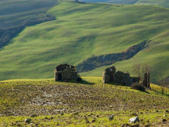
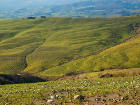
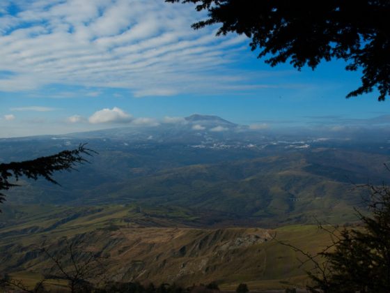
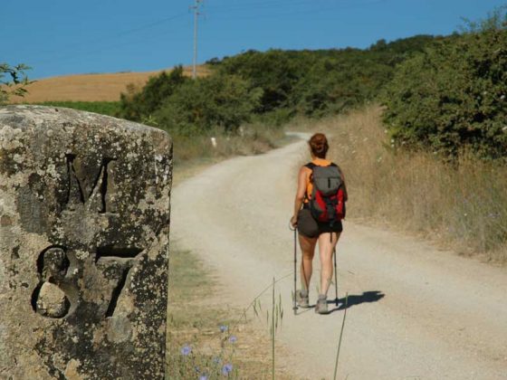
The slope from Radicofani along the old Via Cassia is one of the most beautiful and exciting tracks along the Via Francigena: sorrounded by boundless hills and Mount Amiata, at your back the Rocca.
Arriving at Ponte a Rigo we travel along the bottom of the Paglia valley, following the via Cassia as far as Ponte Gregoriano, before tackling the last short climb towards Acquapendente.
Download this map in printable PDF format
Download this map in PDF for smartphones and tablets
Download the maps legend
Download all the Via Francigena maps in PDF
Be careful to the car traffic on the Cassia road!
Road-houses in Ponte a Rigo and Centeno, water in Ponte Gregoriano.
Please tell us about any problems or proposals to improve the itinerary writing to percorso@viefrancigene.org. Thanks for your help.
© ItinerAria S.r.l. | via al Castello, 8, 13883, Roppolo (BI) | C.F e P.IVA 02343150021 | Capitale Sociale 10.000,00 € Interamente Versato | Iscritta al registro delle imprese Monte Rosa Laghi Piemonte al n. REA BI – 187007