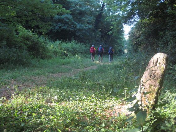
In the initial section of the route cross a lovely paved track along the ancient Via Francigena.
Past the area of Cerbaie, wild and deserted. Head for Ponte a Cappiano, where there is a hostel quarried from an ancient Medicean bridge. Then we cross an old swamp that has been recently improved and go uphill, in the direction of the interesting city centre of Fucecchio. Go over the Arno, flanking the dyke towards San Miniato. Water and road-houses in Chimenti, Galleno, Ponte a Cappiano, and Fucecchio.
Download this map in printable PDF format
Download this map in PDF for smartphones and tablets
Download the maps legend
Download all the Via Francigena maps in PDF

© ItinerAria S.r.l. | via al Castello, 8, 13883, Roppolo (BI) | C.F e P.IVA 02343150021 | Capitale Sociale 10.000,00 € Interamente Versato | Iscritta al registro delle imprese Monte Rosa Laghi Piemonte al n. REA BI – 187007