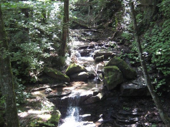
From Cisa Pass we reach Righetto Pass where, crossing the main road, a steep and hard slope leading to Groppoli begins.
A long climb, after going through some villages – Groppodalosio, Casalina and Topelecca – leads to Crocetta Pass. Then a horse path goes down to Arzengio, in a short while arriving in the charming Pontremoli, built between two waterways and characterized by several bridges. During this route there aren’t dangerous tracks or traffic risks.
Download this map in printable PDF format
Download this map in PDF for smartphones and tablets
Download the maps legend
Download all the Via Francigena maps in PDF

© ItinerAria S.r.l. | via al Castello, 8, 13883, Roppolo (BI) | C.F e P.IVA 02343150021 | Capitale Sociale 10.000,00 € Interamente Versato | Iscritta al registro delle imprese Monte Rosa Laghi Piemonte al n. REA BI – 187007