Leg 11 - From Robbio to Mortara

Leg 11 - From Robbio to Mortara

Gps Track

Gps Track

  • Total Length: 14,2 km
  • Difficulty by Foot: Easy

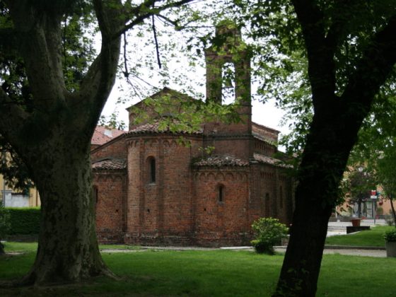
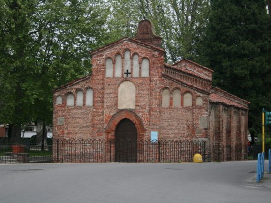
This is a very short leg which passes into the flat countryside of Lomellina, following wide roads in the first section and grassy sheep tracks in the area of Madonna del Campo. The road verge tracks are generally lightly trafficked. Mind the crossing over the bridge of the Agogna torrent upon leaving Nicorvo. The S. Valeriano monastery and the church of S. Pietro can be found in Robbio, where a “Hospicium” used to shelter pilgrims stands.

Download this map in printable PDF format
Download this map in PDF for smartphones and tablets
Download the maps legend
Download all the Via Francigena maps in PDF 

Please notify us of any problems or proposals for improvement of the route at percorso@viefrancigene.org. Thank you for your help.


zoomgeolocalization

SHARE ON

Share on facebook
Share on whatsapp
Share on telegram
Share on email