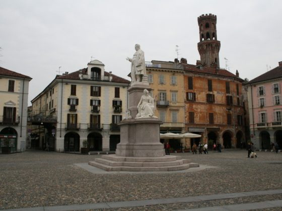
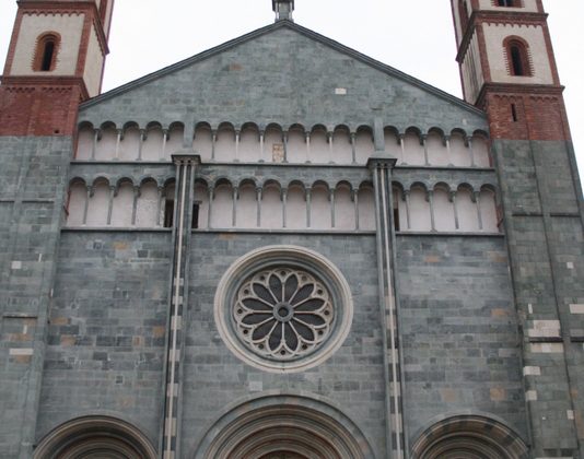
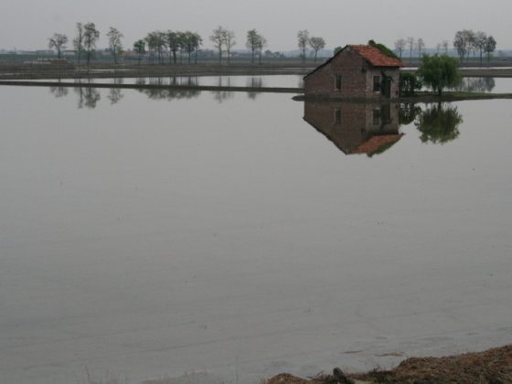
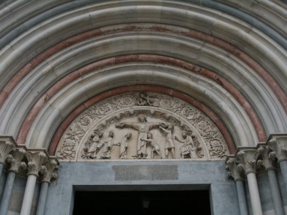
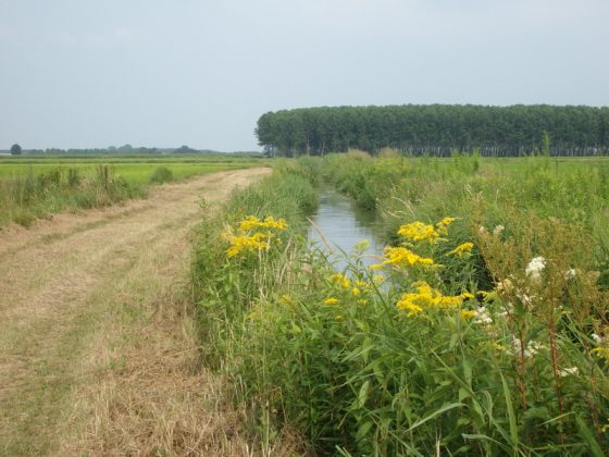
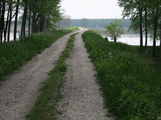
The first section of the route follows the bank of the Sesia, through poplar trees and rice fields. From Palestro follow the narrow banks which cross the flooded fields. As we reach Robbio, pass through the verge along a lightly-trafficked county road. Pay attention to the exit from Vercelli where we follow a path along the 11 state road. From a historical and architectural point of view, there are noteworthy attractions in Vercelli and Robbio. There is no water supply outside populated areas.
Please notify us of any problems or proposals for improvement of the route atpercorso@viefrancigene.org. Thank you for your help.