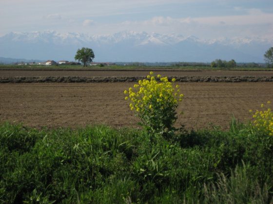
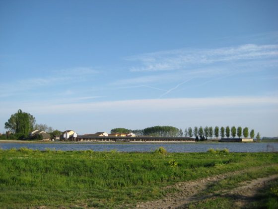
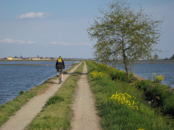
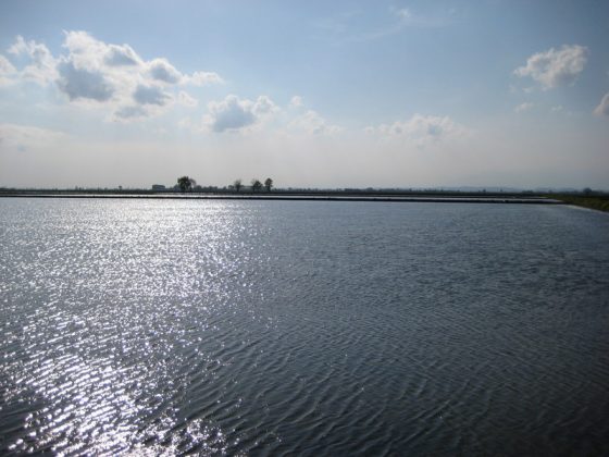
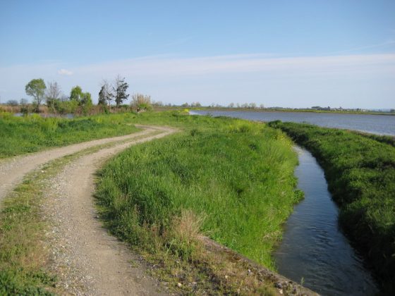
The itinerary crosses the plain of Vercelli characterized by several rice fields, different avicultural species attracted by sheets of water in this area. Leaving Santhià pay attention to crossings nearby the 413 Freeway and three intersections with the 11 Freeway, running parallel to our walk. There are a few tracks along the path following streets where traffic is not heavy. The tour follows sheep tracks and rural roads for the most part. Outside populated areas there is no water supply.