Leg 04 - From Chatillon to Verrès

Leg 04 - From Chatillon to Verrès

Gps Track

Gps Track

  • Total Length: 19,2 km
  • Difficulty by Foot: Hard

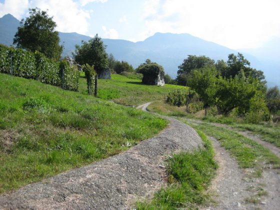
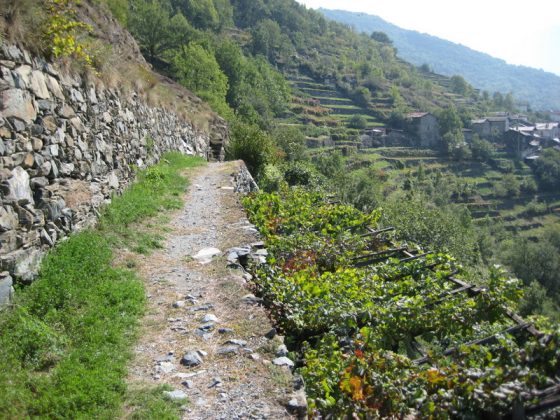
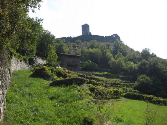
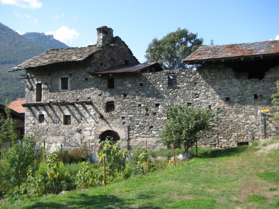
Leaving Chatillon go uphill along a difficult path, before entering the one that flanks a rus till reaching Saint Vincent. Hence keep left to Vallée heading for the beautiful Saint German Castle. Go down a track along the old street of Gauls, and at the valley bottom reach Verrès.

Download this map in printable PDF format
Download this map in PDF for smartphones and tablets
Download the maps legend
Download all the Via Francigena maps in PDF 

zoomgeolocalization

SHARE ON

Share on facebook
Share on whatsapp
Share on telegram
Share on email