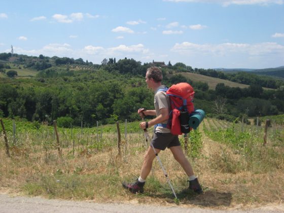
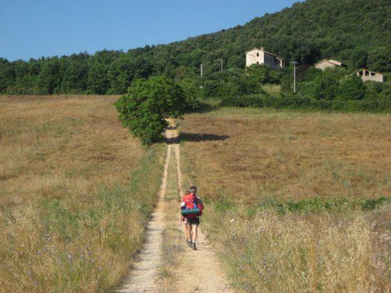
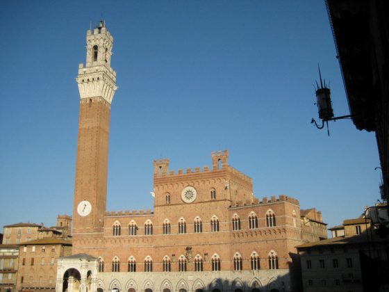
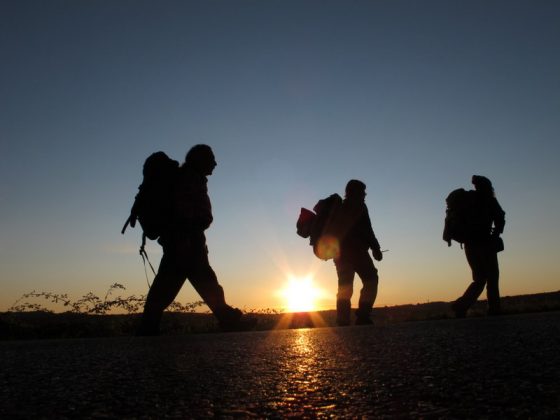
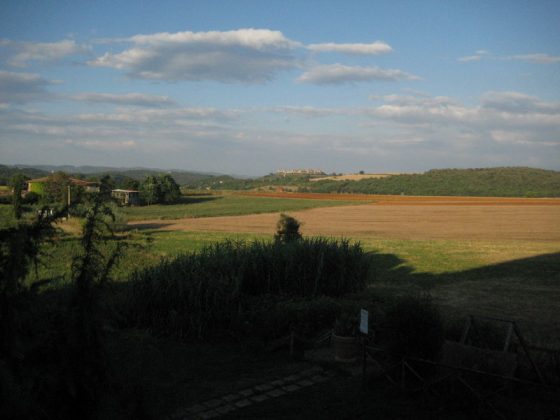
Leave the city centre of Monteriggioni, walk down white streets of the Sienese mountain towards Cerbaia, an ancient Medieval village that is abandoned today. Walk through the brush heading for the castles of Chiocciola and Villa, before going down the riverbed of Pian del Lago. Then go through the wood of Renai before reaching Porta Camollia, a traditional Francigeno access to Siena. The route, quite short and easy, is made hard by the total shortage of water and road-houses.