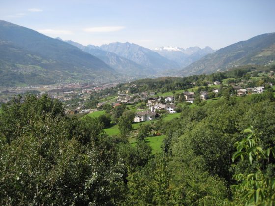
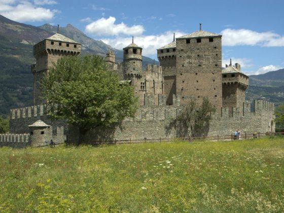
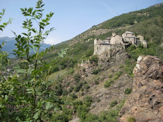
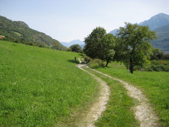
The slope from Valle d’Aosta is an itinerary that we can follow entirely walking on the orographic left bank of the Dora.The word “slope” shouldn’t be taken in the literal sense: the need for avoiding traffic compels one to go up and down on the northern side of the valley which gains in height difference, making this track rather difficult. Main attractions include: vineyards and castles in Quart (that we flank), Nus, Cly, Fenis (which we see in the distance), road-houses in Nus and Chambave, and fountains along the entire track.