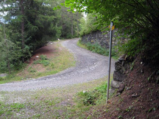
This itinerary follows evocative tracks that flank the “rus”, old masterworks of hydraulic engineering: little channels that bring water from streams to cultivated lands. Smooth journeys along channels alternate with steep slopes for testing your leg strength. In the second section of the route we cross bright orchards before entering Aosta, a very charming town dating back to the Roman period. Road-houses in Gignod and Variney, many fountains.
Download this map in printable PDF format
Download this map in PDF for smartphones and tablets
Download the maps legend
Download all the Via Francigena maps in PDF

© ItinerAria S.r.l. | via al Castello, 8, 13883, Roppolo (BI) | C.F e P.IVA 02343150021 | Capitale Sociale 10.000,00 € Interamente Versato | Iscritta al registro delle imprese Monte Rosa Laghi Piemonte al n. REA BI – 187007